
 Belém
Maranguape
Paranaguá
Paranaguá
Monte Alegre
Alvorada de Minas
Bragança
Laguna
Ibiporã
Belém
Maranguape
Paranaguá
Paranaguá
Monte Alegre
Alvorada de Minas
Bragança
Laguna
Ibiporã
Ponta Negra Beach on the map, Manaus, Brazil
Photo
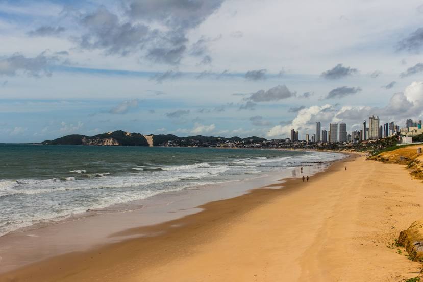
Where is located Ponta Negra Beach
Ponta Negra Beach — local attraction, which is located at no data and belongs to the category — -. Average visitor rating for this place — 4.6 (according to 4605 ratings, information from open sources and relevant for 2022).
Exact location — Ponta Negra Beach, marked on the map with a red marker.
You can get directions to Ponta Negra Beach on the map from your location.
What else is interesting in Manaus? You can see all the sights if you go to the city page.
Coordinates
Ponta Negra Beach, Brazil coordinates in decimal format: latitude — -3.06481482994777, longitude — -60.103461691392994. When converted to degrees, minutes, seconds Ponta Negra Beach has the following coordinates: -3°3′53.33 north latitude and -60°6′12.46 east longitude.
Nearby cities
The largest cities that are located nearby:
- Santarém — 592 km
- Boa Vista — 661 km
- Porto Velho — 754 km
- Macapá — 1049 km
- Sinop — 1083 km
- Georgetown
 (Guyana) — 1115 km
 - Paramaribo
 (Suriname) — 1125 km
 - White River — 1139 km
- Marabá — 1224 km
- Belém — 1288 km
- Ciudad Bolivar
 (Venezuela) — 1298 km
 - Ananindeua — 1302 km
- Castanhal — 1353 km
- Araguaína — 1372 km
- El Tigre (Venezuela) — 1404 km
- Imperatriz — 1406 km
- Cuiaba — 1442 km
- Várzea Grande — 1446 km
- Iquitos
 (Peru) — 1461 km