
 Mikhaylovka
Dyrestuy
Mikhaylovka
Mayskiy
Novobessergenevka
Tersky District
Lesnoy
Tertezh
Kuz'minskiye Otverzhki
Mikhaylovka
Dyrestuy
Mikhaylovka
Mayskiy
Novobessergenevka
Tersky District
Lesnoy
Tertezh
Kuz'minskiye Otverzhki
Central Siberian Botanical Garden on the map, Novosibirsk, Russian Federation
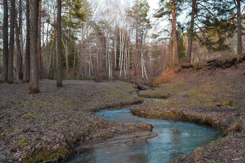
Photo
Where is located Central Siberian Botanical Garden
Central Siberian Botanical Garden — local attraction, which is located at Zolotodolinskaya Ulitsa, 101, Novosibirsk, Novosibirsk Oblast, 630090 and belongs to the category — botanical garden. Average visitor rating for this place — 4.7 (according to 1729 ratings, information from open sources and relevant for 2022).
Exact location — Central Siberian Botanical Garden, marked on the map with a red marker.
You can get directions to Central Siberian Botanical Garden on the map from your location.
What else is interesting in Novosibirsk? You can see all the sights if you go to the city page.
Coordinates
Central Siberian Botanical Garden, Russian Federation coordinates in decimal format: latitude — 54.820869140045346, longitude — 83.10449959841951. When converted to degrees, minutes, seconds Central Siberian Botanical Garden has the following coordinates: 54°49′15.13 north latitude and 83°6′16.2 east longitude.
Nearby cities
The largest cities that are located nearby:
- Barnaul — 191 km
- Tomsk — 207 km
- Leninsk-Kuznetskiy — 210 km
- Seversk — 211 km
- Prokopyevsk — 276 km
- Novokuznetsk — 306 km
- Biysk — 314 km
- Mezhdurechensk — 366 km
- Rubtsovsk — 404 km
- Achinsk — 485 km
- Pavlodar
 (Kazakhstan) — 503 km
 - Semey (Kazakhstan) — 541 km
- Oskemen (Kazakhstan) — 557 km
- Abakan — 573 km
- Omsk — 607 km
- Krasnoyarsk — 625 km
- Ekibastuz (Kazakhstan) — 636 km
- Nizhnevartovsk — 741 km
- Kansk — 797 km
Distance to the capital
Distance to the capital (Moscow) is about — 2831 km.